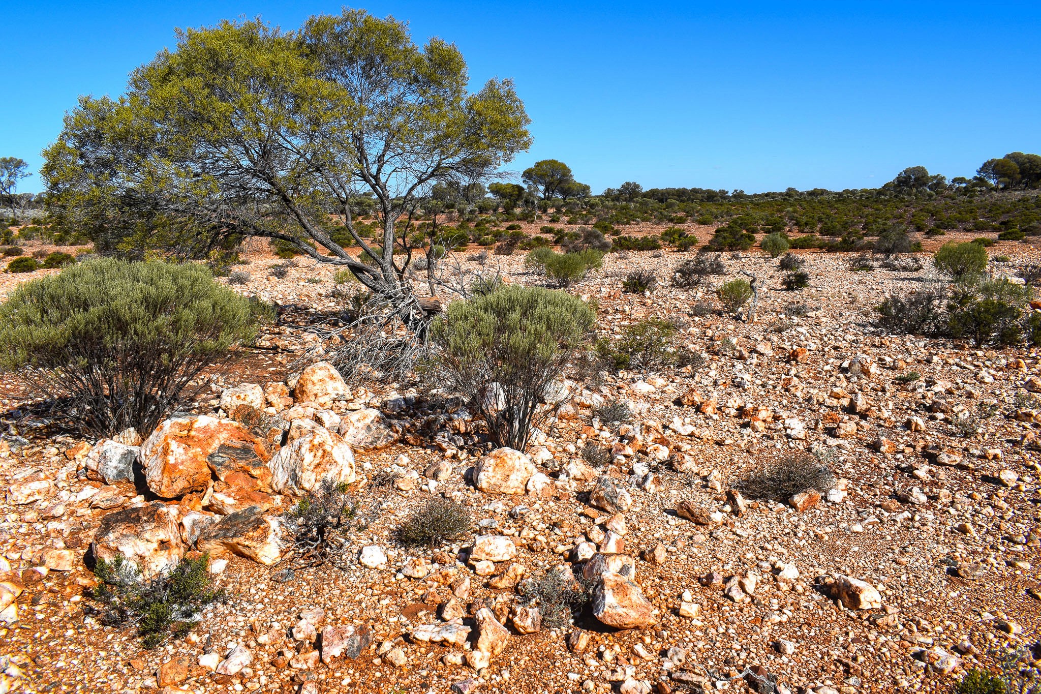
Masters Find E 53/2120
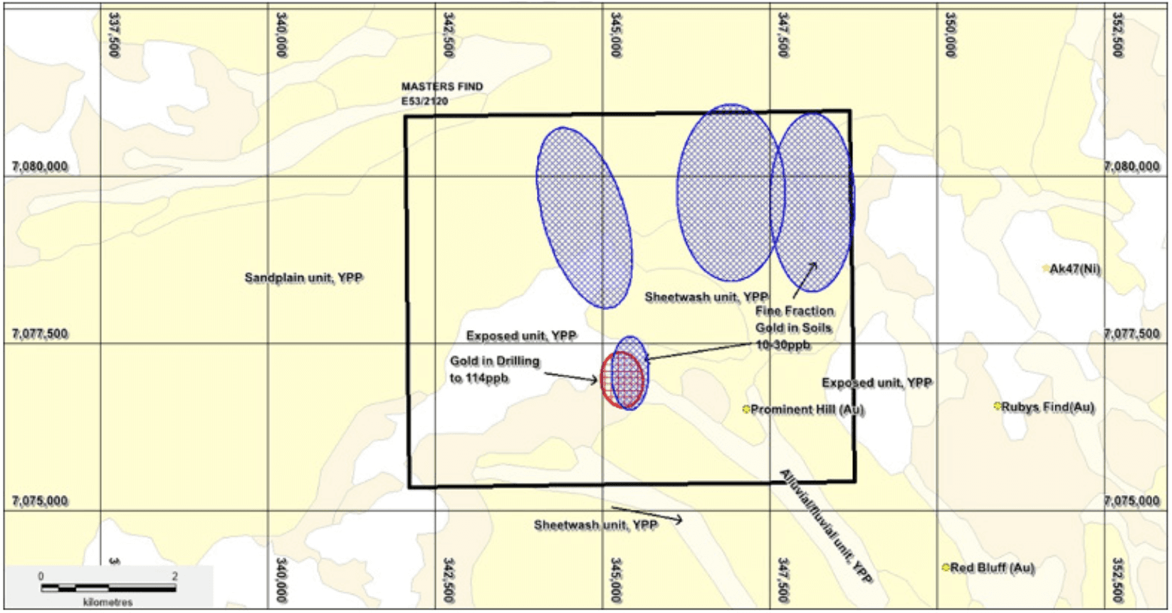
The Master’s Find Project is located at the northern part of the Dingo Range Greenstone Belt. The tenement has a history of alluvial gold and prospecting activity. Exploration for gold mineralisation 7 has been minimal and focused on existing alluvial nugget patches. Previous wide spaced soil sampling over approximately half the structure that is shedding the gold, has identified a number of anomalies that warrant infill sampling, in addition extending the survey over the remainder the structure could define further targets for drill testing.
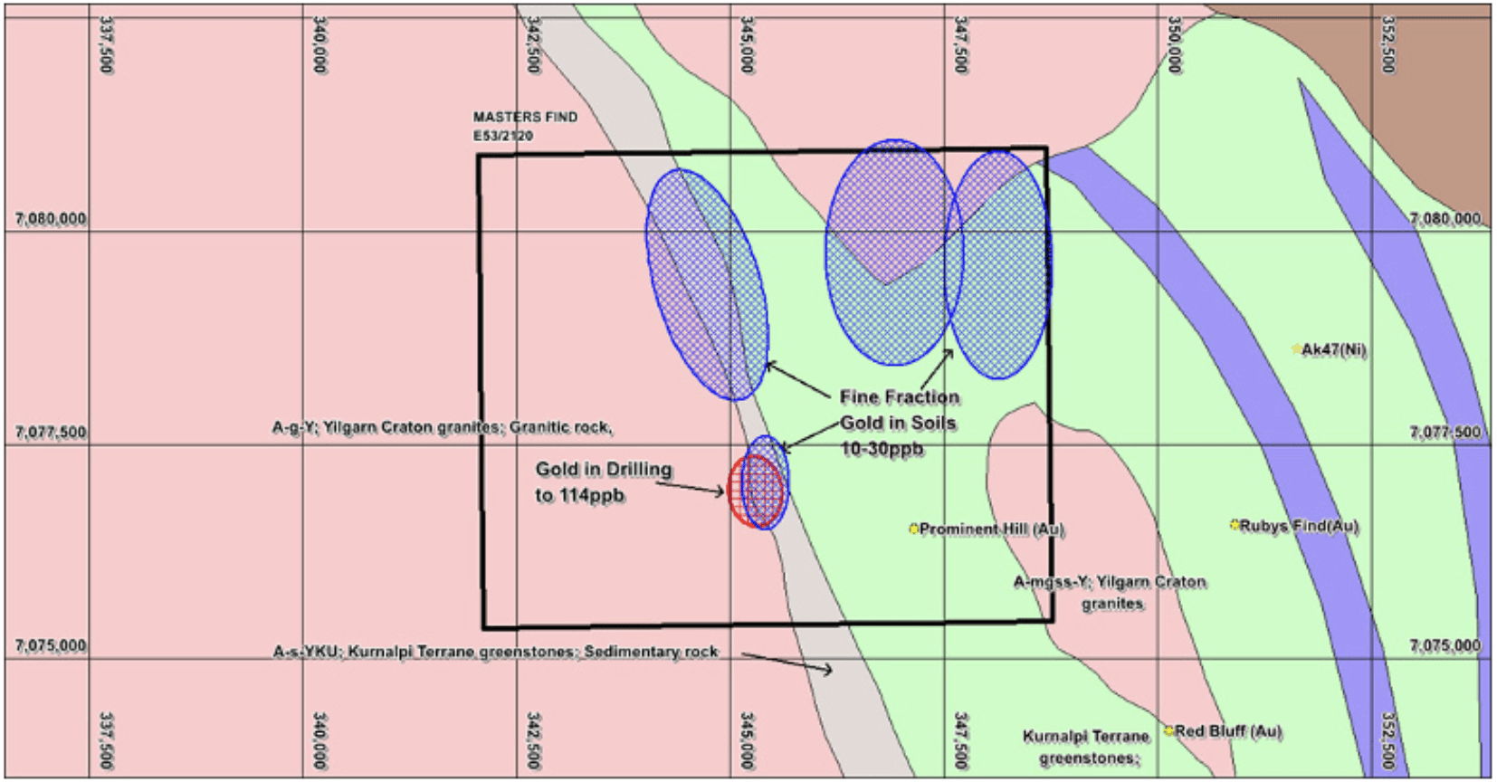
Located in the Dingo Range–Mt Eureka Greenstone Belt, adjacent to historical and ongoing gold operations.
Historical drilling intersected 25 m at 19.4 ppb Au within saprolite.
Soil sampling identified multiple gold anomalies but has not been followed up with detailed drilling.
The belt is underexplored and contains a prospective greenstone sequence with potential for high-grade deposits.
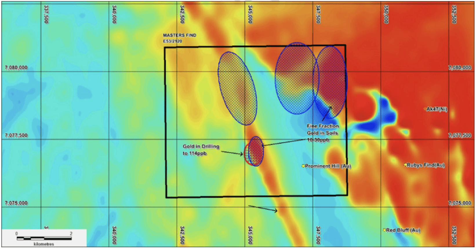
Gold anomalies align with a 5.5 km regional structure, suggesting significant exploration potential.
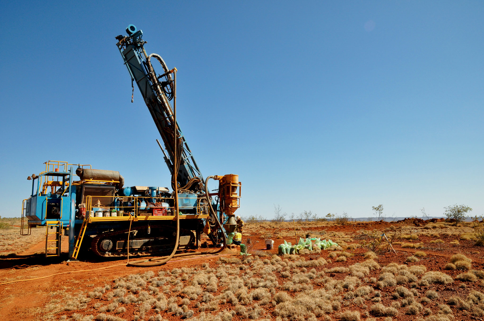
Conduct infill soil sampling (100 m x 25 m) along the identified 5.5 km structure.
Implement shallow aircore drilling to define bedrock anomalies.
Follow up with RC drilling on identified targets to assess resource potential.